This photo of the Round Island Lighthouse was taken from over 1 mile away on Mackinac Island as the morning sun was casting warm light across the lighthouse and round island treetops during golden hour in the spring of 2022.
The Round Island Lighthouse is located off the northwest tip of Round Island, less than a mile south of Mackinac Island. This aerial photo was taken from north of the lighthouse on a summer morning.
The Old Mackinac Point Lighthouse is located in Alexander Henry Park in Mackinaw City at the northern tip of Michigan's lower peninsula. This photo, which also features the Mackinac Bridge, was taken on a summer morning.
This photo of Mackinac Island during blue hour was created by blending multiple long exposures taken after sunset on a summer evening. The Round Island lights are visible on the distant left, with Main Street nightlife on the right.
Mackinac Island is located in the waters of Lake Huron about 6 miles northeast of Mackinaw City and 3 miles east of St. Ignace. This aerial photo was captured on a warm summer morning from south of Biddle Point.
Mackinac Island is located in the waters of Lake Huron about 6 miles northeast of Mackinaw City and 3 miles east of St. Ignace between Michigan's upper and lower peninsulas. This aerial panorama was created on a warm summer morning from south of the island.
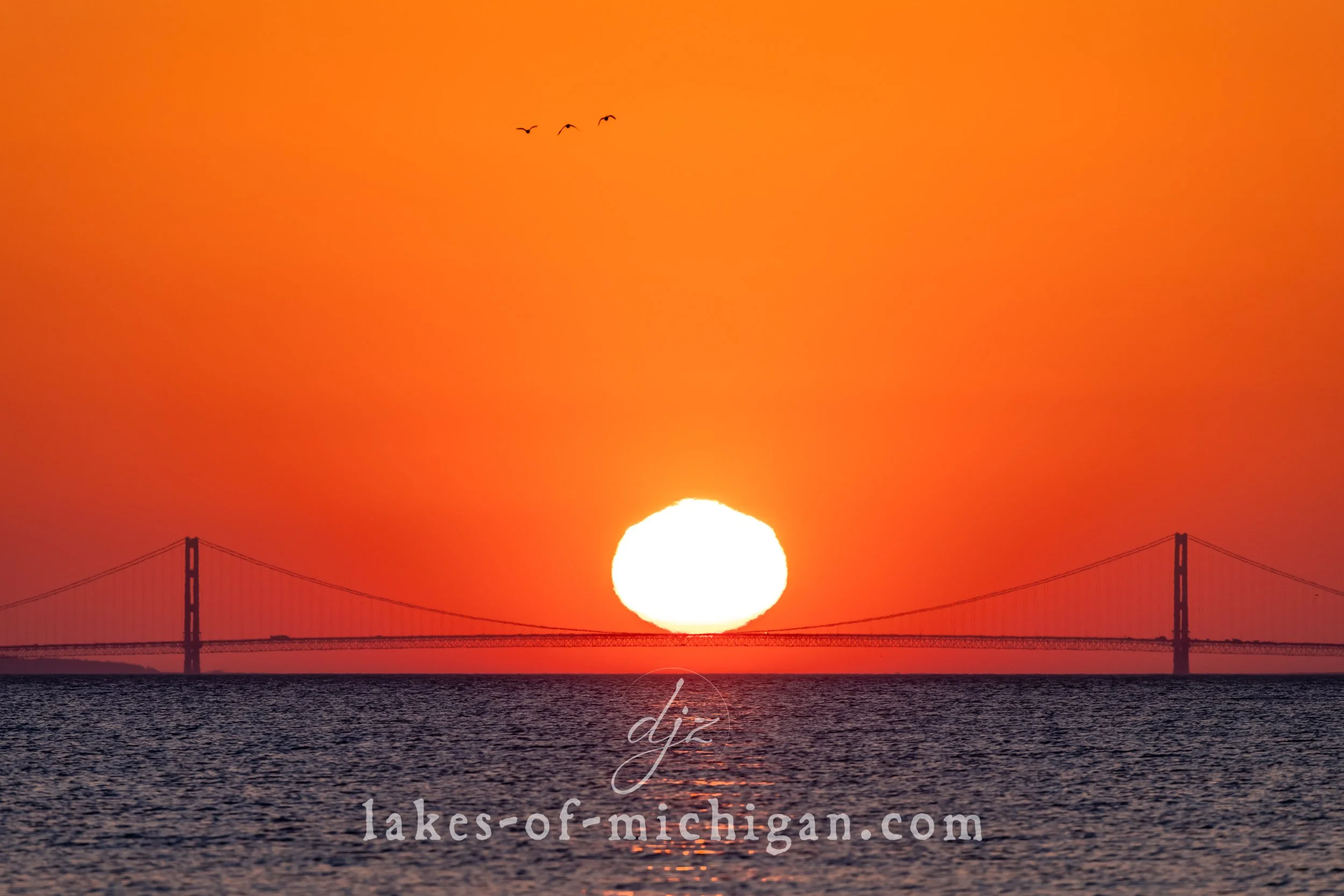
This photo of the Mackinac Bridge at sunrise was taken from over 12 miles away when the sun was perfectly aligned to appear as if it was weighing down the bridge's cables while resting on the midspan of the bridge.
This photo was taken on June 10th, 2021 at around 6am from McGulpin Rock facing northeast towards the south tower of the Mackinac Bridge as the sun rose during a partial solar eclipse.
This aerial photo of Fort Michilimackinac and the Mackinac Bridge was taken on a summer afternoon from southwest of the fort, featuring Mackinac Island and the Round Island Lighthouse in the distance.